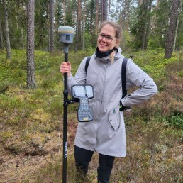
We invite you to the second webinar in the Forest 4.0 online seminar series.
On 25 September at 13:00, we will present the remote sensing data collection platforms currently used and developed within Forest 4.0:
- an ultralight aircraft equipped with integrated laser, hyperspectral and photographic scanning systems;
- unmanned aerial vehicles equipped with LiDAR and multispectral sensors;
- a mobile remote sensing laboratory;
- terrestrial scanning solutions operating in SLAM mode;
- and the upcoming development plans of Forest 4.0.
Using examples from Punia Forest, the Tauragė region and phenological monitoring, we will discuss how different platforms and sensors are selected for tasks of different scales – from detailed studies of individual objects to mapping areas of up to 20,000 hectares.
We will also share impressions from INTERGEO 2026 in Munich, highlighting the latest trends in geospatial data collection and the next development steps for Forest 4.0.
Programme
Smart forestry starts with properly collected data
Nerijus Kupstaitis
Director of Forest 4.0
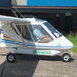


Large-area laser and hyperspectral scanning using an ultralight aircraft
Donatas Jonikavičius
Expert
Kęstutis Staniulis
Pilot
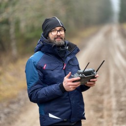
Unmanned aerial vehicles, different sensors and the mobile field laboratory
Giedrius Bosas
Expert
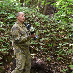
Mobile LiDAR, SLAM and future SLAM–GNSS integration
Ričardas Beniušis
Senior Researcher
INTERGEO 2026 innovations and Forest 4.0 technology development plans
Monika Papartė
Researcher